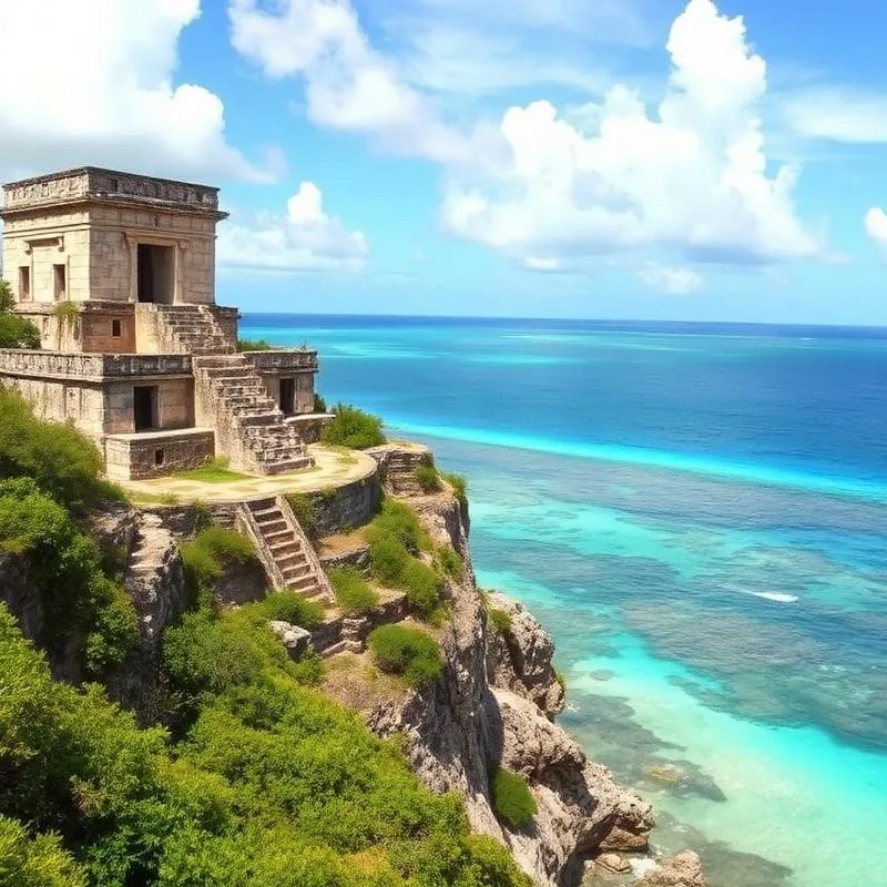
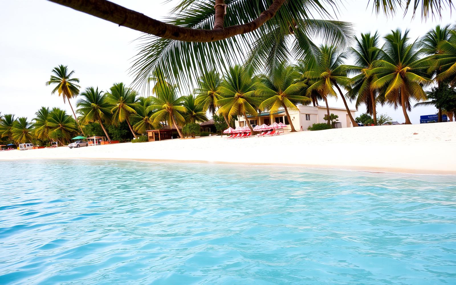
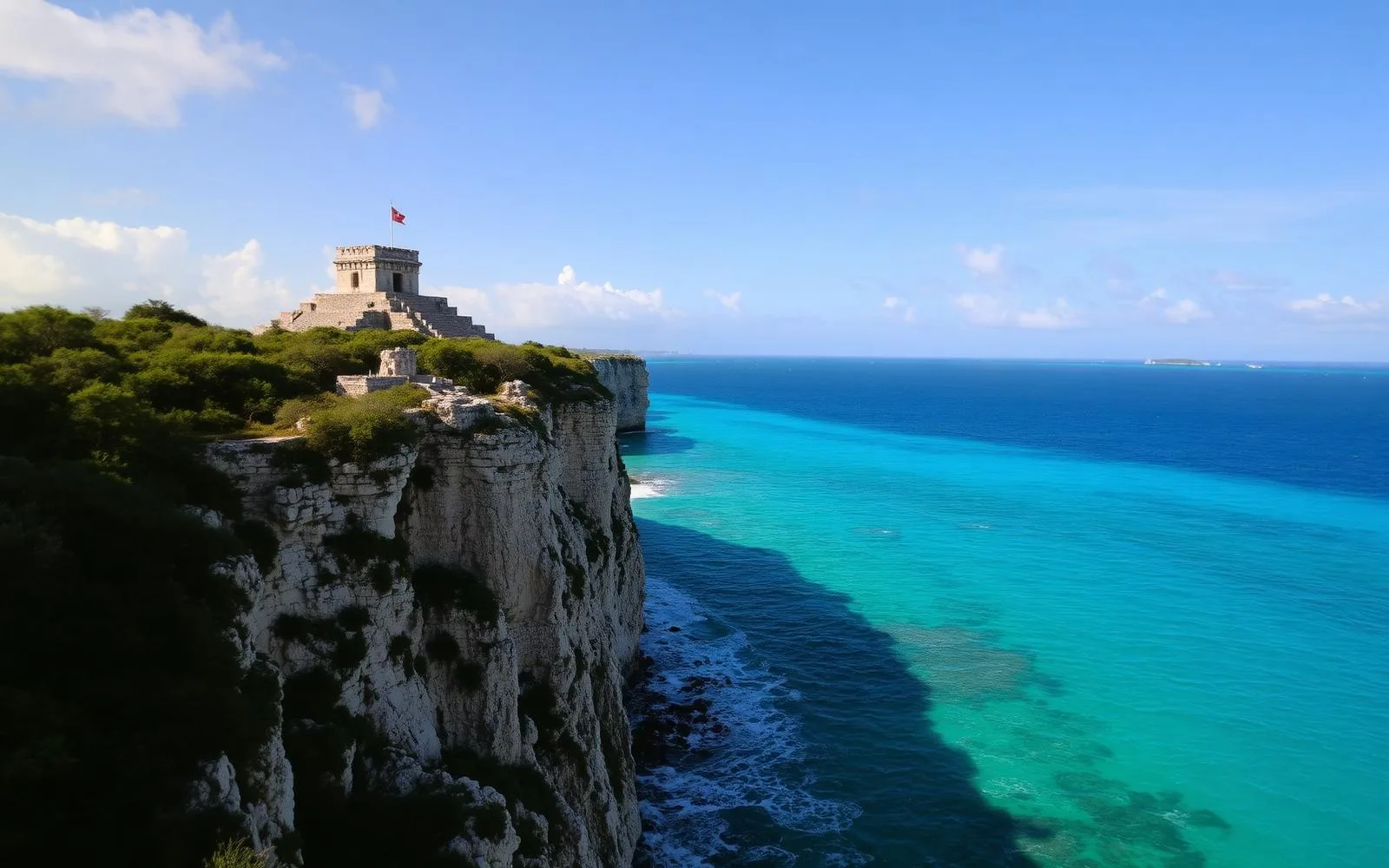


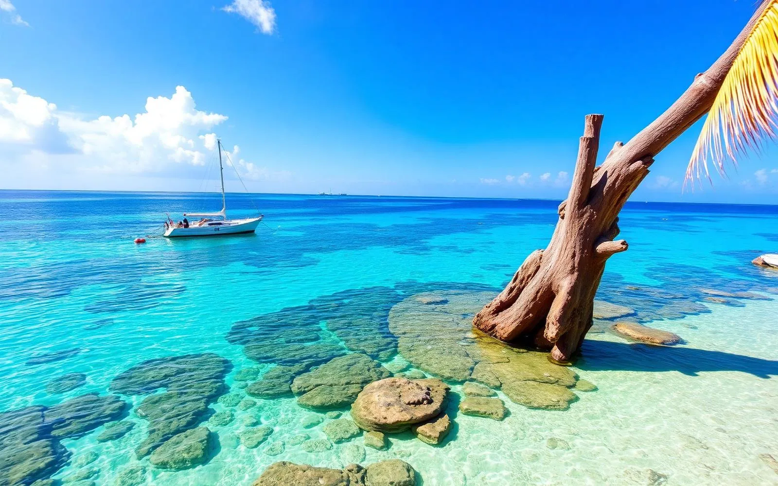


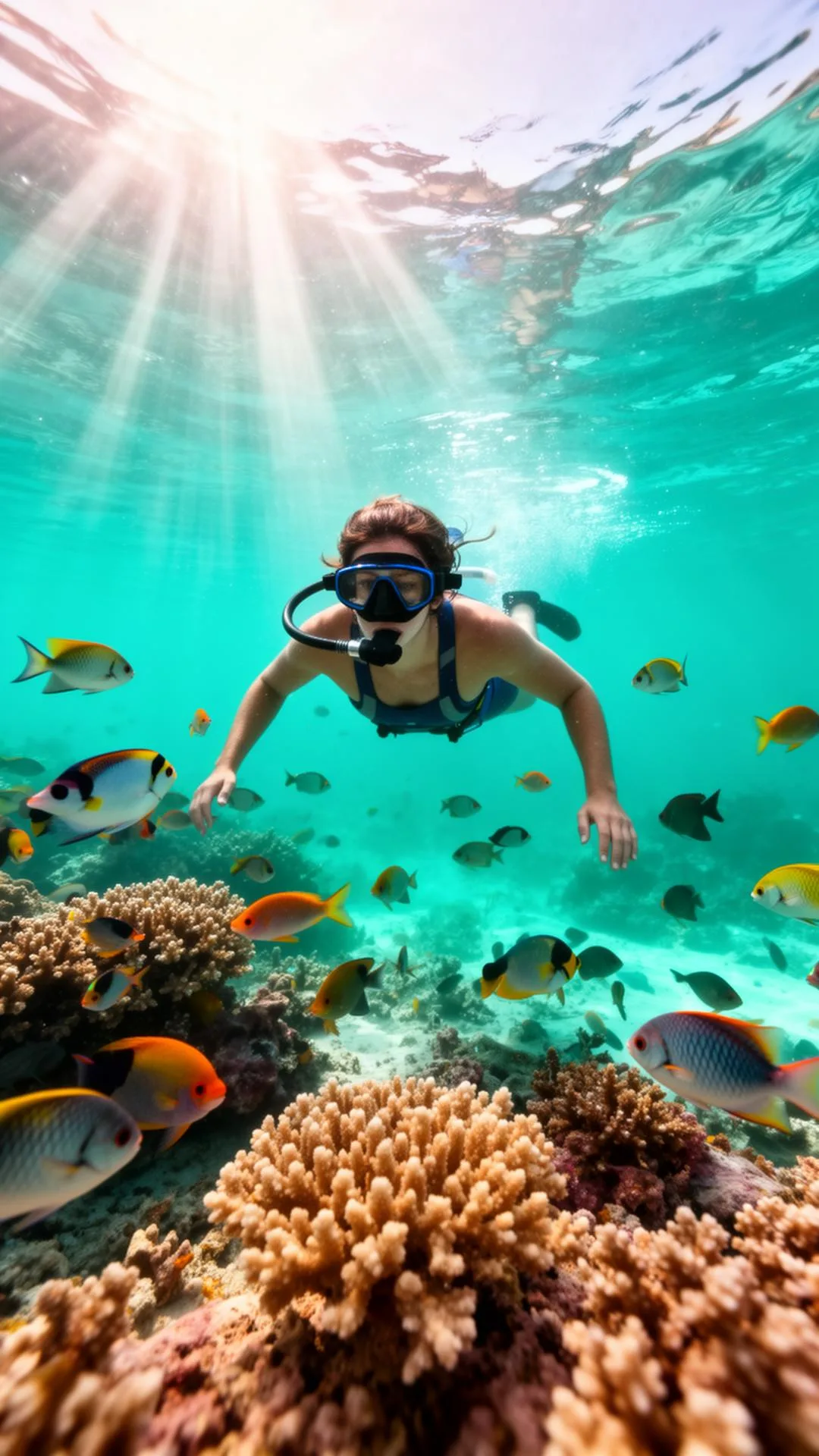

the Riviera Maya at a Glance
The Riviera Maya is the stretch of Caribbean coastline in the Mexican state of Quintana Roo that runs south from Puerto Morelos through Playa del Carmen, Puerto Aventuras, Akumal and Tulum, and on toward the Sian Ka'an Biosphere Reserve. Cancun, Isla Mujeres, Cozumel, Holbox and Bacalar sit just outside the strict definition but belong to the same travel region and are covered in these guides.
Three natural systems define it: a flat limestone shelf with no surface rivers, a vast network of flooded caves that surfaces as cenotes, and the Mesoamerican Barrier Reef a few hundred metres offshore. Everything travellers come to do here — diving, snorkelling, swimming with turtles, exploring ruins — flows from that geology.
The coast is far more varied than the resort image suggests. Playa del Carmen is a walkable city, Tulum a low-rise beach and jungle destination, Puerto Morelos and Akumal quiet villages, Cozumel a dive island, and Sian Ka'an an almost empty protected wilderness of mangrove, lagoon and reef.
Distances are manageable: the entire developed coast sits along Highway 307, and most destinations are within 90 minutes of Cancun International Airport, which makes multi-destination trips straightforward with private transportation.
The History of the Riviera Maya
The Yucatan Peninsula was the heartland of the Maya civilisation. Coastal sites such as Tulum, Xcaret (Polé), Xelha and Muyil were ports and trading posts on a maritime route that carried salt, obsidian, jade, cacao and cotton between Honduras and central Mexico.
Spanish contact began in 1517, and Cozumel was one of the first places on the mainland coast reached by European expeditions. Epidemics and colonisation collapsed the coastal population, and the shoreline was largely abandoned for centuries.
In the 19th century the region was shaped by the Caste War of Yucatan and later by the chicle boom — the harvesting of sapodilla resin for chewing gum — which created small inland settlements and the port of Puerto Morelos.
Modern tourism began in 1970, when Mexico's government selected an empty sandbar north of the coast for a planned resort city: Cancun. Development spread south through the 1990s and 2000s, and the name 'Riviera Maya' was adopted in 1999 to market the corridor between Puerto Morelos and Tulum.
Where Is the Riviera Maya?
The Riviera Maya lies on the eastern edge of the Yucatan Peninsula, in Quintana Roo, facing the Caribbean Sea.
Highway 307 is the single artery of the region, running roughly 130 km from Cancun to Tulum and continuing south to Mahahual and Bacalar.
Cancun International Airport (CUN) is the main gateway; Cozumel (CZM) and Tulum's Felipe Carrillo Puerto airport (TQO) also receive international flights.
Typical drive times from Cancun airport: Puerto Morelos 25 minutes, Playa del Carmen 45 minutes, Akumal 80 minutes, Tulum 90 minutes, Bacalar around 3.5 hours.
Why Visit the Riviera Maya
The second-longest reef in the world
The Mesoamerican Barrier Reef runs parallel to the entire coast, giving calm, shallow, snorkel-friendly water and world-class diving.
Cenotes everywhere
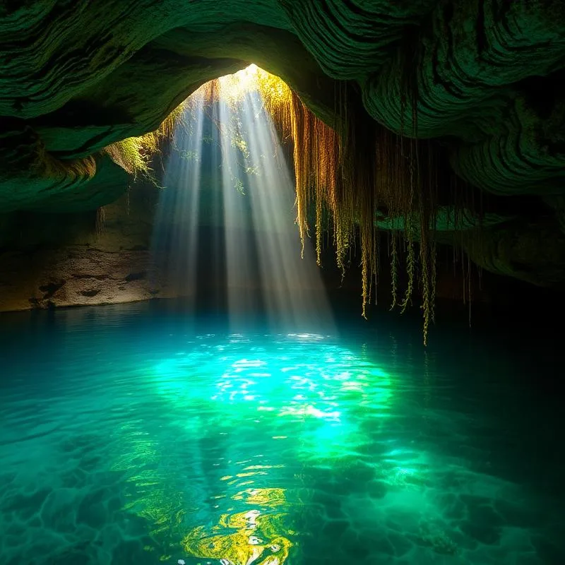
Thousands of freshwater sinkholes connect to the longest underwater cave systems on earth, many open for swimming and cavern diving.
Maya archaeology
Tulum, Coba, Muyil and Chichen Itza are all reachable as day trips from the coast.
Wildlife encounters
Whale sharks in summer, sea turtles nesting from May to October, bull sharks in winter and manatees in protected lagoons.
Easy logistics
One highway, short transfers, good roads and a wide range of accommodation from village guesthouses to beachfront resorts.
Food worth travelling for
Yucatecan cooking — cochinita pibil, panuchos, sopa de lima — alongside fresh Caribbean seafood.
Things to Do in the Riviera Maya
Snorkel or dive the reef
Puerto Morelos, Playa del Carmen and Cozumel all offer reef access within minutes of shore, with drift diving on the Cozumel wall as the regional highlight.
Swim in cenotes
Open cenotes for swimming, cavern cenotes such as Dos Ojos and Sac Actun for diving, and jungle cenotes for a quieter experience.
Visit Maya sites
Tulum for the cliffside setting, Coba for jungle pyramids and Chichen Itza for scale and astronomy.
Swim with whale sharks
From roughly June to September, boats depart from Cancun, Isla Mujeres and Playa del Carmen to meet feeding aggregations offshore.
Explore Sian Ka'an
A UNESCO biosphere reserve with mangrove channels, lagoons, birdlife and a float down an ancient Maya canal.
Sportfishing
Deep-sea, bottom, trolling and jigging trips run year-round from Puerto Morelos, Playa del Carmen and Puerto Aventuras.
Island days
Ferries reach Cozumel from Playa del Carmen and Isla Mujeres from Cancun in under an hour.
Bacalar and the south
A freshwater lagoon of seven colours, stromatolites and a slower, less-developed pace.
Best Beaches in the Riviera Maya
Playa Delfines, Cancun
A wide public beach with open Caribbean surf and the classic turquoise gradient.
Playa Norte, Isla Mujeres
Shallow, calm and consistently ranked among the best beaches in Mexico.
Playa Paraiso, Tulum
White sand beneath the archaeological site, with reef offshore.
Akumal Bay
A reef-protected bay with seagrass beds where green turtles feed, under regulated access.
Xpu-Ha
A long, quiet stretch between Akumal and Puerto Aventuras with soft sand and few buildings.
Punta Esmeralda, Playa del Carmen
A local favourite where a cenote empties into the sea, mixing fresh and salt water.
Cenotes Near the Riviera Maya
Dos Ojos
Two connected cenotes near Tulum with exceptional visibility, suitable for both snorkelling and cavern diving.
Gran Cenote
A popular open cenote outside Tulum with turtles, small fish and easy access.
Cenote Azul
An open swimming cenote near Playa del Carmen with shallow ledges and a deeper jump area.
Sac Actun
Part of the longest surveyed underwater cave system on the planet, offering guided cavern dives.
Casa Cenote
An open mangrove channel near Tulum where fresh water meets the sea; a resident crocodile is often present.
Cenote Angelita
A deep technical dive site famous for its hydrogen sulphide cloud that looks like an underwater river.
Nature and Landscapes
- A flat limestone shelf with no surface rivers — all fresh water flows underground through flooded caves.
- Thousands of cenotes, sinkholes formed where cave ceilings collapsed, connecting to systems hundreds of kilometres long.
- The Mesoamerican Barrier Reef, second in length only to Australia's Great Barrier Reef.
- Mangrove forests and coastal lagoons that act as nurseries for reef fish and buffers against hurricanes.
- Tropical dry forest inland, home to coatis, spider monkeys, agoutis and hundreds of bird species.
- Sian Ka'an Biosphere Reserve, covering more than 5,000 km² of wetland, reef and forest.


Marine Life
Sea turtles
Green and loggerhead turtles feed on seagrass year-round and nest on protected beaches from May to October.
Whale sharks
The world's largest fish gathers offshore in summer to feed on plankton and fish spawn.
Bull sharks
Pregnant females arrive off Playa del Carmen between November and March, creating a well-known dive.
Reef fish and rays
Angelfish, parrotfish, groupers, moray eels, southern stingrays and eagle rays are common along the reef.
Dolphins and manatees
Bottlenose dolphins are seen offshore; manatees survive in protected lagoons such as Chetumal Bay and Sian Ka'an.
Corals and sponges
Brain, elkhorn and star corals plus large barrel sponges structure the reef habitat.
Culture and Traditions
- Yucatec Maya is still spoken by hundreds of thousands of people across the peninsula, and many place names are Maya in origin.
- Traditional ceremonies such as the Ha'a Cha'ak rain ritual and the temazcal steam bath are still practised in inland communities.
- Día de Muertos is observed regionally as Hanal Pixán, 'the food of the souls', with altars and specific dishes.
- The Sacred Maya Journey is re-enacted each May, with canoes crossing from Xcaret to Cozumel in honour of the goddess Ixchel.
- Coastal towns mix Maya, Mexican and international communities, and English is widely spoken in tourism areas.
Local Gastronomy
Cochinita pibil
Pork marinated in achiote and sour orange, wrapped in banana leaf and slow-cooked underground.
Panuchos and salbutes
Fried tortillas topped with turkey or chicken, pickled onion and avocado.
Sopa de lima
A clear turkey broth with lime, tortilla strips and mild chilli.
Tikin xic
Whole fish rubbed with achiote and grilled over wood — the classic Caribbean coast dish.
Ceviche and aguachile
Fresh grouper, shrimp or conch cured in lime with chilli, onion and coriander.
Marquesitas
A crisp rolled wafer filled with Edam cheese and caramel, sold from street carts in the evening.
Weather in the Riviera Maya
- Tropical climate with average temperatures between 24 °C and 32 °C year-round and warm sea water (26–29 °C).
- Dry season runs from November to April: lower humidity, steady sunshine and the most reliable conditions.
- Rainy season runs from May to October, usually short intense afternoon storms rather than all-day rain.
- Hurricane season officially spans June to November, with peak risk in September and October.
- Sargassum seaweed can affect east-facing beaches mainly between April and August, varying by year and location.
Best Time to Visit the Riviera Maya
December to April
Peak season: dry, sunny, clear water and the least seaweed, with the highest prices and crowds.
May to June
Warm and green, whale shark season begins, turtle nesting starts, and prices ease before summer.
July to August
Hot and humid with family crowds, but the best whale shark and cenote conditions.
September to November
Lowest prices and quietest beaches; highest rain and hurricane probability.
How to Get to the Riviera Maya
Fly into Cancun (CUN)
The region's main airport, with direct flights from North America, Europe and Latin America.
Tulum airport (TQO)
Opened in 2023, convenient for Tulum, Akumal and the southern coast.
Private transfer
The simplest option: door-to-door service from the terminal, fixed price, no waiting or shared stops.
Ferries
Playa del Carmen to Cozumel and Cancun to Isla Mujeres, both running frequently through the day.
Buses and colectivos
ADO coaches link the main towns; colectivo vans run the Playa del Carmen–Tulum corridor cheaply.
Travel Tips
- Distances look short on a map but Highway 307 has speed limits and topes — allow more time than you expect.
- Bring reef-safe sunscreen: most cenotes and protected parks prohibit chemical sunscreens entirely.
- Carry pesos in cash for small towns, cenote entrance fees and tips; card acceptance is patchy outside cities.
- Book cenote and whale shark experiences with permitted operators — capacity is regulated and unlicensed boats are common.
- Tap water is not for drinking; bottled or filtered water is standard everywhere.
- A private guided trip removes the biggest friction points here: transport, timing and crowd avoidance at popular sites.
Safety Tips
- The tourist corridor is generally safe, with standard precautions against petty theft in busy areas.
- Swim between flags and respect red flags; some open beaches have strong currents.
- Never dive into a cenote without checking depth, and only enter caves with a certified cave or cavern guide.
- Watch for heat and dehydration — humidity makes 32 °C feel considerably hotter.
- Use licensed taxis or pre-booked private transportation rather than unmarked vehicles.
- Check hurricane advisories if travelling between August and October, and take hotel instructions seriously.
Interesting Facts About the Riviera Maya
- The Yucatan Peninsula has almost no surface rivers; nearly all fresh water flows underground.
- Sac Actun and Dos Ojos were confirmed connected in 2018, forming a system of more than 370 km — the longest known flooded cave on earth.
- The Chicxulub crater, left by the asteroid impact that ended the age of the dinosaurs, lies beneath the northern peninsula and helped create the cenote ring.
- Cozumel is Mexico's largest inhabited island and one of the birthplaces of recreational reef diving after Jacques Cousteau filmed there in the 1960s.
- Cancun did not exist as a resort before 1970; the site was chosen by computer analysis of Mexico's coastline.
- Sian Ka'an means 'origin of the sky' or 'gift of the sky' in Yucatec Maya.